January 14, 2018
Ecology, Environmental Design, Landscape Architecture
The Town and Country Planning (Environmental Impact Assessment) Regulations 2017 introduced requirements to consider risks to human health, cultural heritage or the environment (for example due to accidents or disasters) and the vulnerability of a project to climate change. With wildfire likelihood and severity set to increase due to climate change, mitigation of present hazards and adaptation to future challenges is vital for any large development in high risk areas. Paul Jolliffe reviews the process of developing a wildfire mitigation strategy in Surrey.
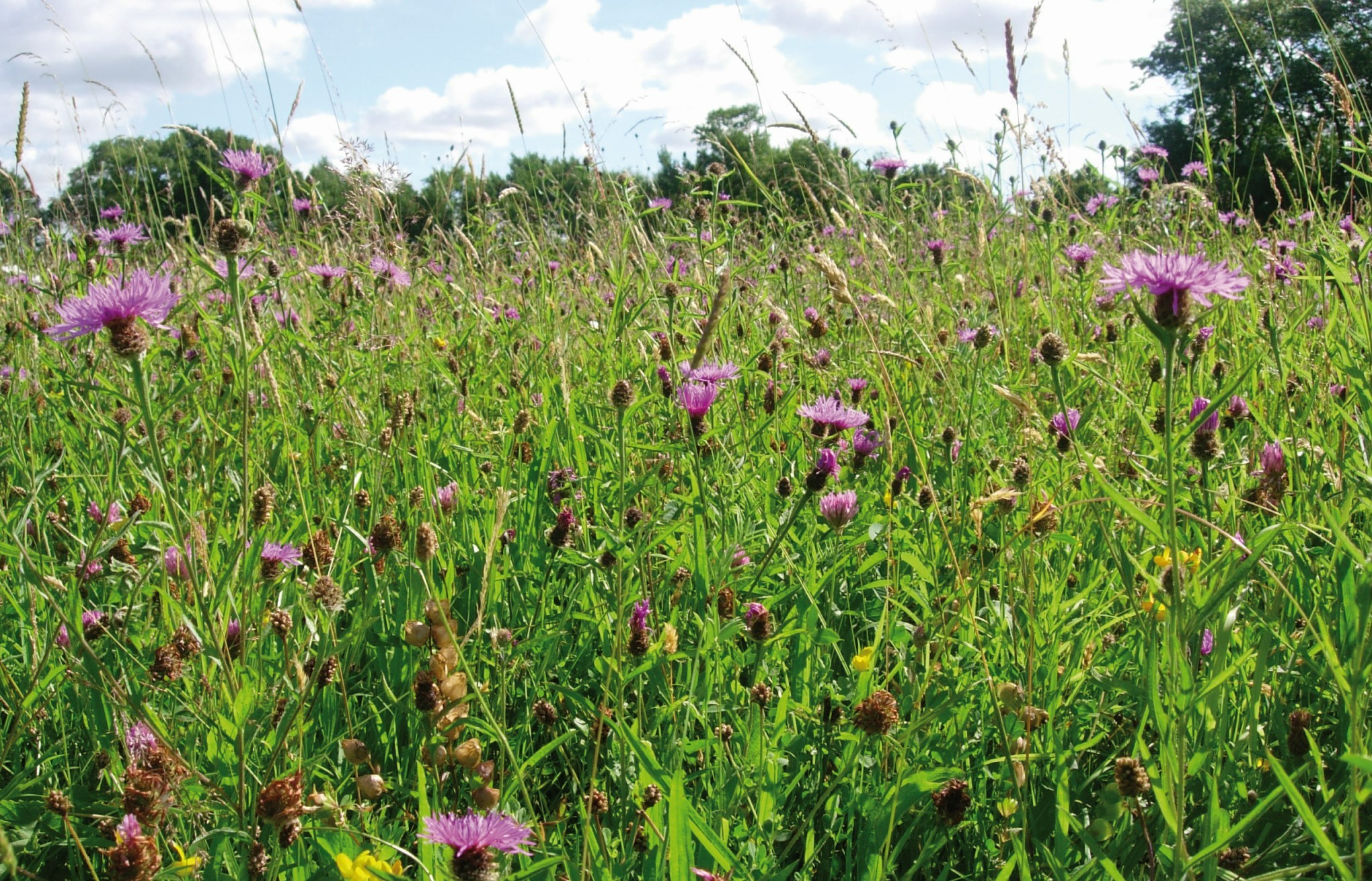
The Princess Royal Barracks, Deepcut, is currently being redeveloped for predominantly residential development. Due to the close proximity of the Thames Basin Heaths Special Protection Area (SPA), provision of Suitable Alternative Natural Greenspace (SANG) is required. The SANG provides a buffer from the heathland to the proposed housing within the central site.
Beyond the SANG is lowland heath in Pirbright Military Ranges which has suffered two significant wildfire incidents, the largest in the South East of England. In both 2003 and 2010, over 800 hectares was burnt causing considerable local disruption to key services and infrastructure. Large wildfire incidents within the Thames Basin Heaths (TBH) SPA are regular events.
As part of the design and management proposals for the Central SANG (the first phase of SANG delivery), Surrey Heath District Council, required measures to minimise wildfire risk spreading from the heathlands or from the development outwards. This needed to be considered alongside the provision of a range of habitat types which appear to be ‘natural’ to the user and enhance biodiversity; and to provide a network of routes to provide users with a variety of options in which they feel safe and comfortable.
A ‘Central SANG Landscape Proposals, Habitat Management and Wildfire Mitigation Report’ was prepared by a team comprising a landscape architect, ecologist and forester with specialist knowledge on wildfires. Consultation was undertaken with the Surrey Fire and Rescue Services.
The key aims and objectives of the report were:
- to describe the existing site conditions, areas of wildfire risk, proposed planting and management measures to prevent or reduce risks, residual risks, proposed wildfire fighting infrastructure;
- to describe how the wildfire mitigation measures for the Central SANG would form part of a site-wide wildfire mitigation strategy which also covers the other SANG areas;
- to provide details of the proposed hard landscape elements, signage and other infrastructure;
- to provide details of how species/habitats of nature conservation value would be protected and enhanced;
- to provide phasing of implementation and management measures;
- to identify agencies and responsibilities involved in the delivery of the landscape, habitat and wildfire mitigation in the Central SANG.
The baseline covered: local context; site analysis; tenure; rights; statutory designations; geology and topography; hydrology; soils and vegetation; landscape; historical and past land; archaeology; public access and use; and ecological interest. This was followed by an analysis of Wildfire Context and Risks. Managing these risks was undertaken using the Forestry Commission’s Practice Guide “Building Wildfire Resilience in Forestry Management Planning” (2014) to ensure appropriate mitigation and adaptation following the seven stages of planning: Scoping; Survey; Analysis and Synthesis; Implementation; Monitoring; and Review.
The SANG comprises three main habitats: broad leaved woodland; coniferous woodland; and lowland heath and acid grassland, each with its own level of wildfire risk. The SANG was divided into three proposed wildfire management zones:
- Zone A (Asset Zone) – Where health and safety and important assets and infrastructure must be protected from wildfire requiring a high level of fire prevention measures, such as fuel management;
- Zone B (Buffer Zone) – Where increased fuel management is carried out to protect Zone A. The aim should be to reduce the rate of spread and intensity of a wildfire;
- Zone C (Normal Management Zone) – An area of low wildfire risk where normal land management activities can be carried out.
Wildfire Response Plans were also prepared. These provide vital information on the fire and rescue services and other responders in case of wildfire incidents. They also provide clear land management outcomes to managers to maintain and improve wildfire prevention futures and the proposed locations of key access points, routes and other wildfire mitigation response measures. Agencies for delivery and management were identified, with the means of delivery being via a S106 agreement.
This article was written in January 2018 as a contribution to the EIA Quality Mark’s commitment to improving EIA practice.